Drone Mapping & Measuring

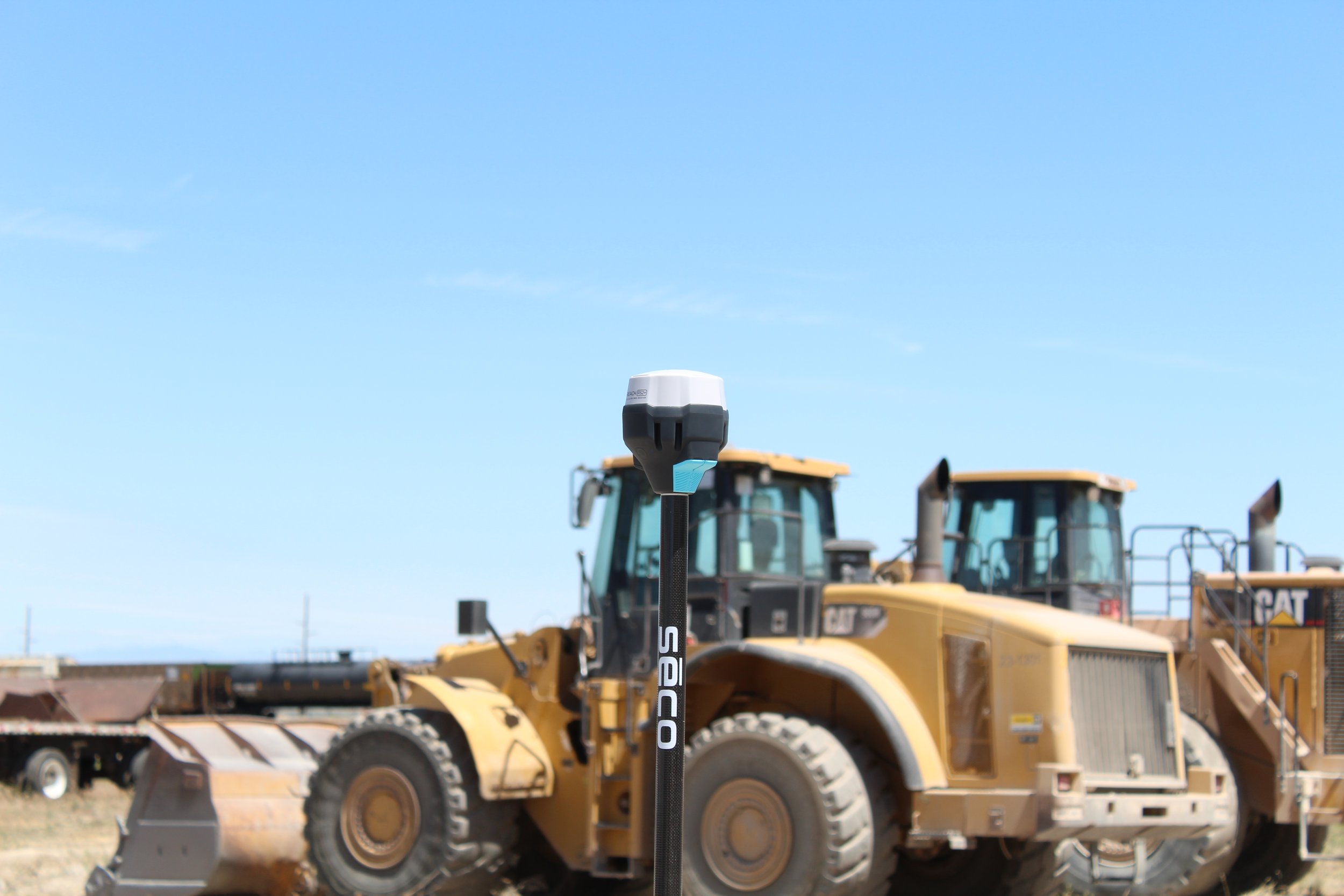
I use Photogrammetry with RTK to create a centimeter-level accurate map and or 3D model of whatever you need

For a quote, and specifics on billing, deliverables, and scheduling: please contact Payton Nelson here
What I do for you?
I can create topographical 3D & 2D geo-referenced maps for whatever project you need.
I can accurately measure stockpiles.
I can give accurate Cuts and Fills for retaining ponds, Stockpiles, riverbeds, and more.
What I cant do for you
I am not a survayor!! I can work with surveyors to certify topo data and georeferencing. I can not set or measure property corners!
Even though I may use centimeter-level accurate equipment, I legally can not claim the data is 100% correct, even though I use the equipment properly.


